We’re glad you’re here
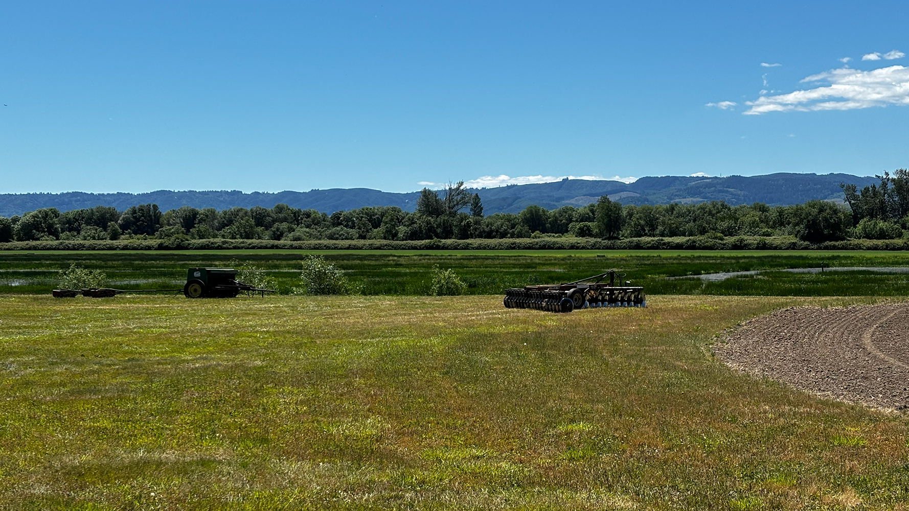
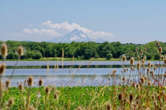
Welcome to our community service hub. Hosted by the Sauvie Island Community Association (SICA), this website highlights the many things to do on Sauvie Island and celebrates its unique environment. It also serves as a central resource to keep the island community informed about events, important information, and emergency preparedness. Explore links throughout the site for more details and connections to other Sauvie Island resources.
Sauvie Island history
by Chet Orloff, Historian
Sauvie Island Community Association (SICA) is a neighborhood association serving Sauvie Island (comprised of both Multnomah and Columbia Counties and a portion of unincorporated Multnomah County along Hwy 30).
SICA is operated entirely by volunteers and funded by sponsorships and donations.
Your support matters. Sponsorships and donations support SICA’s efforts to showcase Sauvie Island’s abundant resources, to bring residents together for community events, and to share Sauvie Island news and information.
You can submit your donation through this link, or send your donation to:
Sauvie Island Community Association, P.O. Box 83554, Portland, OR 97238
We rely on your input.
Email your news, events, and ideas to communityassociation@sauvieisland.org. Submit Form link
Our Sponsors
-
![The Market, The Pumpkin Cottage Giftshop, The Big Red Animal Barn, The Patio Cafe and Pumpkin Perk Coffee, U-pick, & The Maize]()
The Pumpkin Patch
LOCATION: 16511 NW Gillihan Road
WEBSITE: www.thepumpkinpatch.com
The Market, The Pumpkin Cottage, The Big Red Animal Barn, The Patio Cafe and Pumpkin Perk Coffee, U-pick, and The Maize
-
![Topaz Farm on Sauvie Island]()
Topaz Farm
LOCATION: 17100 NW Sauvie Island Rd
WEBSITE: www.topazfarm.com
Authentic farm experiences for every season and every family.
-
![]()
Columbia Farms U-Pick
LOCATION: 21024 NW Gillihan Road
WEBSITE: www.columbiafarmsu-pick.com
The best berries on Sauvie Island -
![]()
The MAiZE
-
![]()
Charlton Kennels and Farm
LOCATION: 13825 NW Charlton Road
WEBSITE: www.charltonkennels.com
Loving care & fun for your fur baby!
-
![]()
The Mahaffy Realty Group
WEBSITE: https://mahaffygroup.com/
Impacting and improving lives through real estate
-
![]()
Amanda Stern Photography
WEBSITE: www.amandastern.art
Professional wedding/elopement, family, portrait, landscape/wildlife photography & more
-
![]()
WisnerCreative
WEBSITE: http://wisnercreative.com
WisnerCreative design studio creates graphics, books, and gardens.
-
![]()
West Multnomah Soil & Water Conservation District
WEBSITE: www.wmswcd.org
Helping residents improve water quality, soil health, and wildlife habitat.